Improve Efficiency & Safety in Mining using Drones and Robots

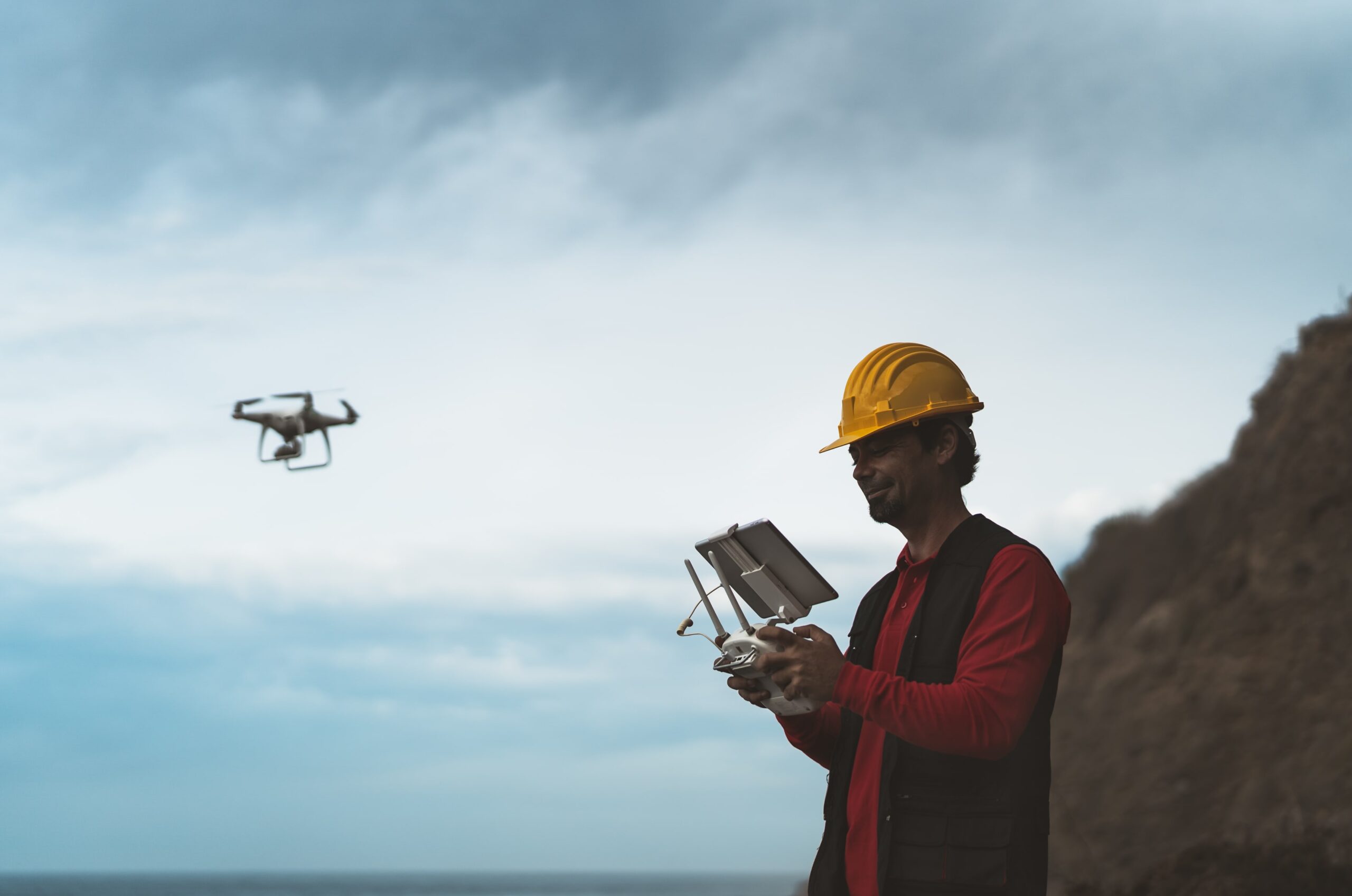
The advancement in technology has led to further development of remote controlled as well as autonomous robots and drones which have a wide variety of use cases across different industries. These assets are now equipped with powerful cameras, lighting system, sensors, navigation capability and more.

Request Consultant

drones and robots

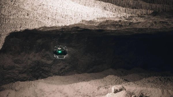
The high-risk and high-cost nature of mining operations means that the industry has one of the highest potentials to leverage the advancement of this technology. Benefits of utilising drones and robots in the different stages of its operation from unmanned surveys and explorations, to operations and machinery monitoring, as well as post operation surveys for environmental rehabilitation, ultimately reducing both risk and time requirements/resources.


Drones and Robots Use Cases

Mining Exploration

  • Capture images and videos of identified area.
  • Cover large area of land in a short amount of time.

Ground Survey

  • Land borne robot ground-based topography survey.
  • Take high-quality images and data along programmed paths.

Stopes Inspection and Monitoring

  • Inspect stopes of underground mines due to ore removal.
  • Check on lose debris and fall hazards.

Blast Zone Monitoring

  • Monitor area before blasting.
  • Monitor site to ensure all explosives went off and safe for excavation to begin.

Conveyor Belt Inspection

  • Inspect status of conveyor belts moving ores from primary to secondary crushers.
  • Check on conveyor belts for proper maintenance and reduced downtime.

Pit Survey and Calculations

  • Take accurate pit measurements for volume and elevation.

Inspections in Confined Spaces

  • Quickly check confined spaces (e.g. coal bins) without shutdown and long assembly time.

Environmental Rehabilitation Survey (post-mining operations and closed sites)

  • Survey of existing plants and trees in the nearby area.
  • Mass seeding through a seed tank on the identified area following a flight plan.

Benefits

Capture Quality Data

  • Capture high resolution images and videos.
  • Improve data quality with reduced human error.
  • Measure depth, volume, temperature and other information from sensors and cameras for required monitoring and computation.

Establish Live Feed

  • Create alerts for anomalies, leaks, hazards and other potential causes of downtime.
  • Use live feed as aid in making faster decisions.
  • Use as guide for personnel who will be assigned to high-risk tasks.
  • Monitor operation real-time for thorough observation.

Create 3D Maps, Topography Map and Digital Twins

  • Bring together images to create maps and detailed topographical information.
  • Simulate scenarios in digital twin using live information from drones and robots.

Results

Increased Operational Efficiency

Reduce time required to capture information, improved data collection, and faster decision making.

Cost Saving

Reduce downtime for repairs and preventive maintenance and faster response time for repairs. Lower deployment cost compared to other methods.

Improved Health and Safety

Reduce risks for employees conducting high-risk tasks or entering dangerous areas and remove the potential for injury.